AG Surveys are pleased to announce……
Teignbridge DC has awarded us a 4-year contract to deliver high resolution UAV surveys to support ‘Making Space for Sand’, a project funded by DEFRA as part of the £200M Flood and Coastal Innovation Programme to drive innovation, flood and coastal resilience and adaptation to climate change.
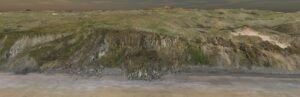
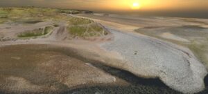
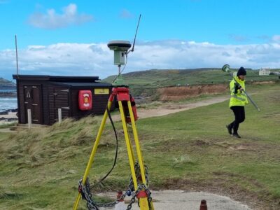
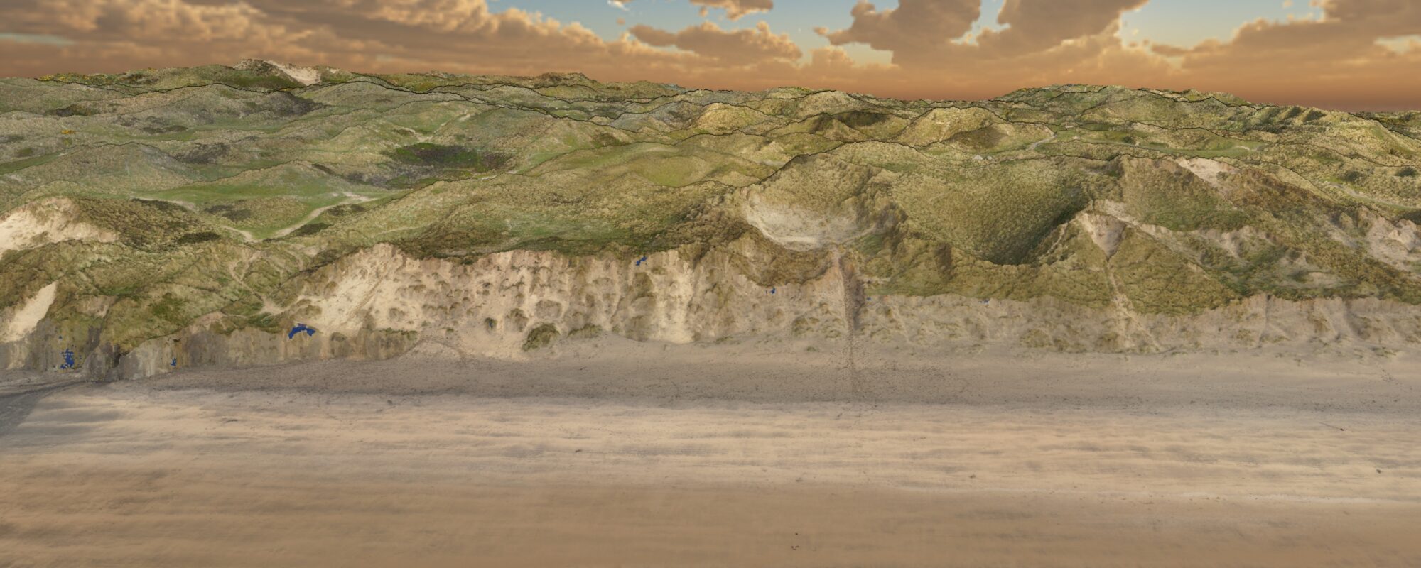
AG Surveys will carry out a high-resolution LiDAR UAV surveys at 5 beach locations along the coast of Cornwall, flying our multicopter drone over the beach and dune system so that erosion and accretion can be monitored. The data from these beaches will be used by South West Coastal Monitoring (SWCM) and University of Plymouth to enhance a greater understanding of beach-dune dynamics and help with computer modelling to show how our coastline will change over time.
Here you will find details of our UAV LiDAR system.
Alongside this exciting new venture, we will continue to collect beach survey data as part of the south west coastal monitoring programme from Sennen in Cornwall to Severn Beach near Bristol.