With over 10 years of coastal monitoring experience, AG Surveys has been applying its extensive knowledge of data collection within the coastal environment to a large extent of the Welsh coastline. Since 2019, the company has surveyed a multitude of beaches stretching from Swansea Bay to Talacre, providing high accurate topographical surveys to the Wales Coastal Monitoring Centre (WCMC).
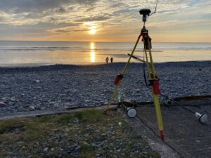
Much of the work involves gathering cross-shore intertidal profile lines along fixed transects at ~50m intervals, which extend seaward from a back of beach limit (e.g. sea defence, dune, cliff-face etc) to Mean Low Water Springs. Alongside this, baseline surveys are conducted on a large majority of the beaches whereby cross-shore and alongshore lines are measured, allowing for the creation of a fully comprehensive 3D point cloud.
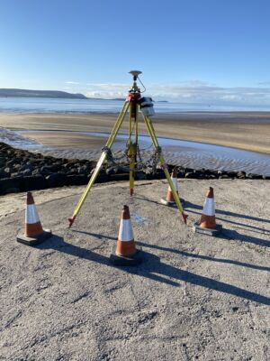
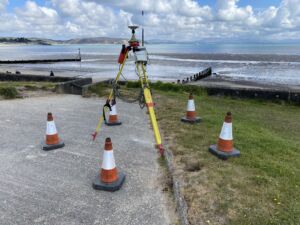
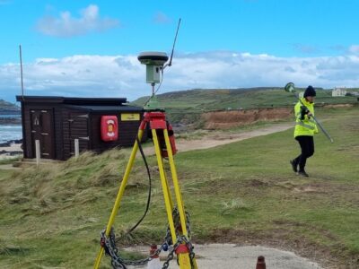
With the use of Leica GS15 GNSS receivers and CS10 handheld devices, we are able to obtain geospatial recordings across the beach face and simultaneously provide information on the ground covering (e.g. grass, mud, sand etc). The data is then processed in-house using bespoke software and used to produce cross sections of the coastline, along with representative height models. When compared with previous years data, a gradual understanding of individual beach dynamics can be concluded and provide a visual representation of how the coastline is altering over time.
We continue to set the standard for coastal monitoring surveys and look to continue providing this valuable data to the Environment Agency and WCMC in the upcoming years.