Aerial Surveying – Coming Ashore
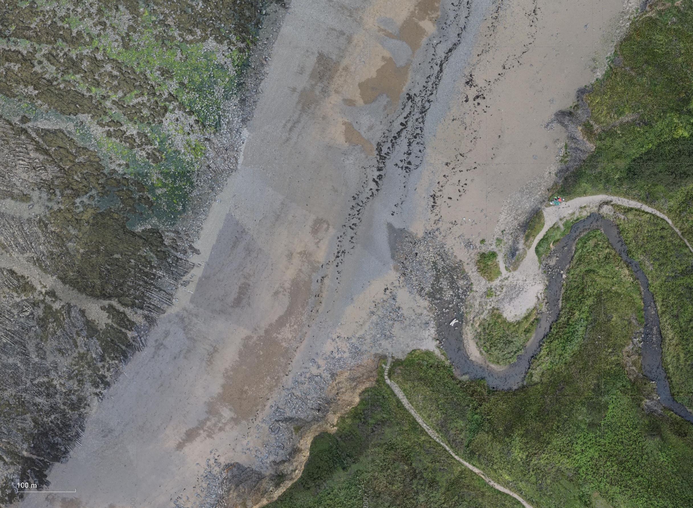
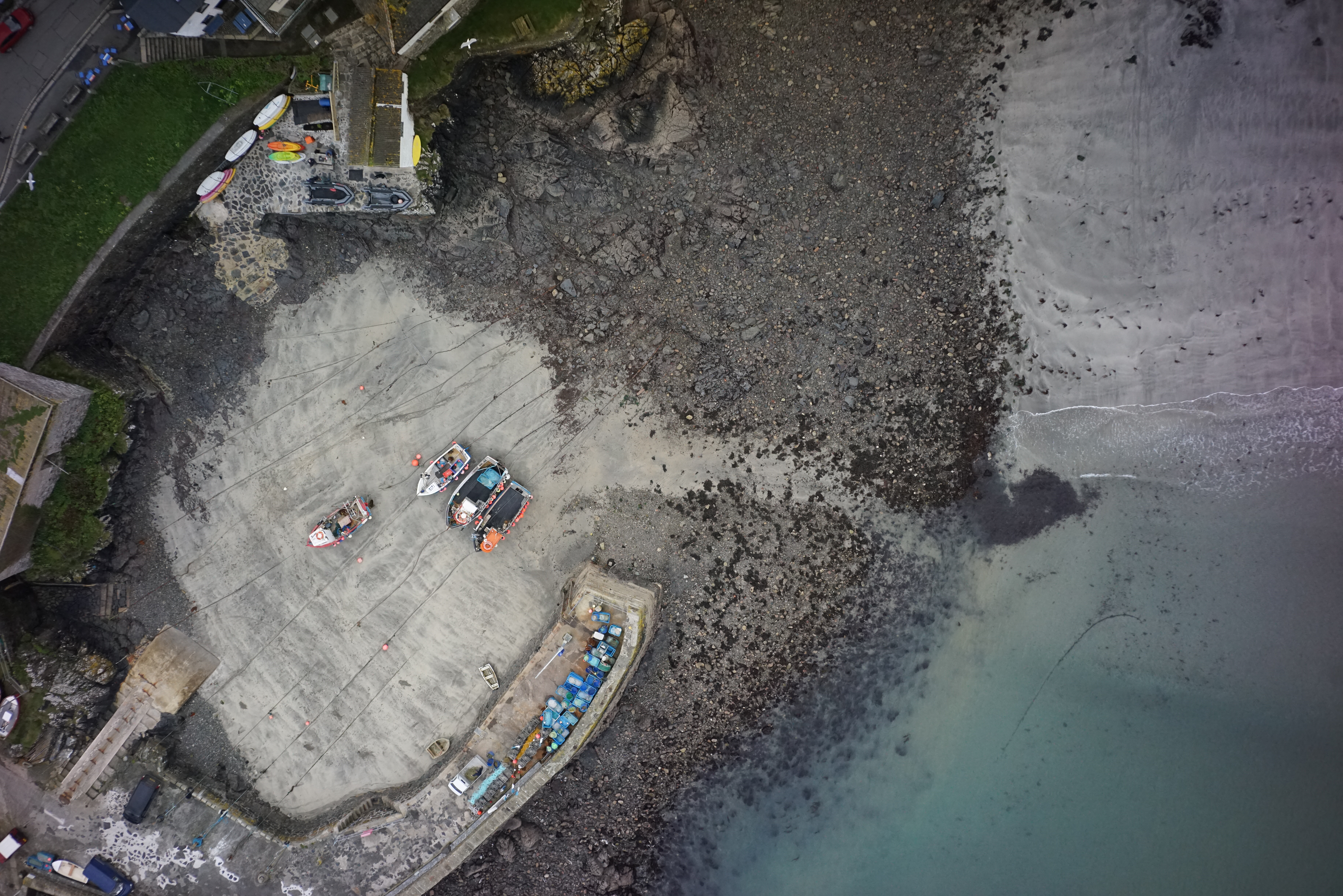
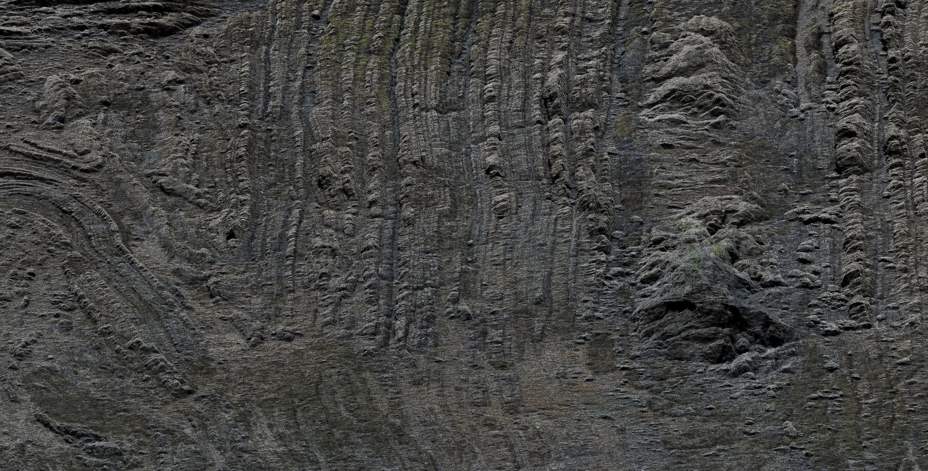
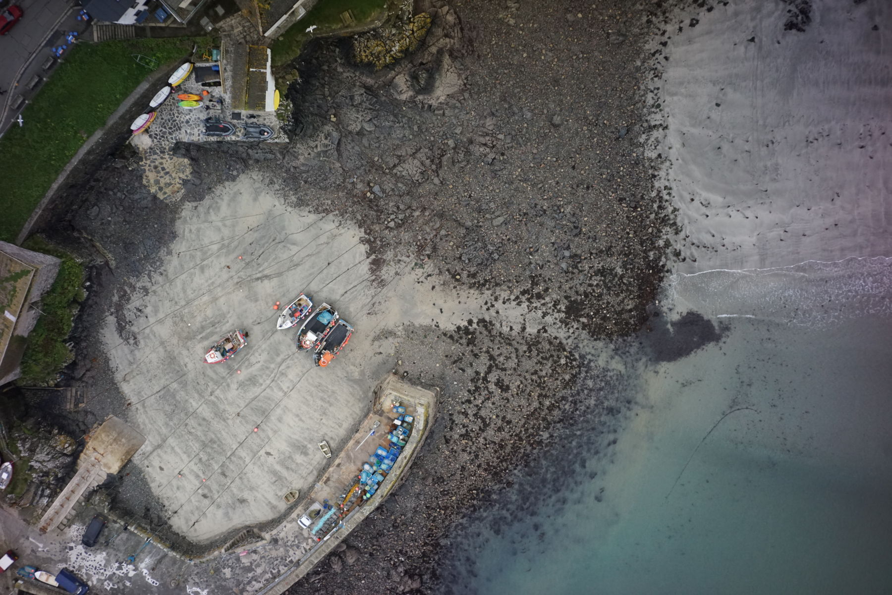
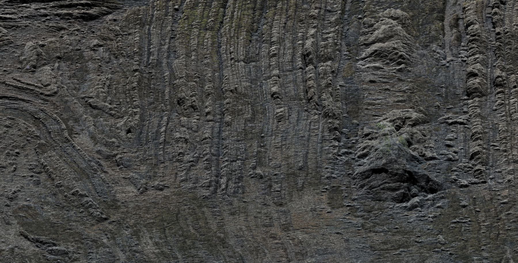
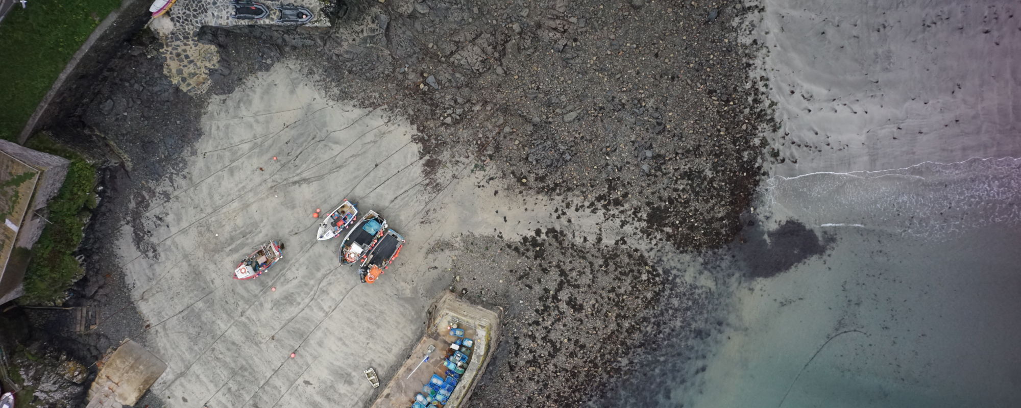
AG Surveys has led the way in testing and adopting drone technology to survey beaches and cliffs along the south west coast. We purchased a Trimble UX5HP fixed wing done and used their Master software to process the huge amount of photography and produce high density point clouds and Orthophotos.
Andreas Garbe, Managing Director said “We thought many of the designated beaches could be surveyed more efficiently and more comprehensively with the speed and data depth of a UAS. Together with specialised UAS processing software, we wanted to prove that a UAS-based approach could be a better solution for a number of challenging beaches.”
We are offering our clients more UAV surveying solutions and GIS mapping services as the demand for aerial surveying grows.
Trimble published the following article in Eco Magazine Dec 10th 2018:
https://flickread.com/edition/html/index.php?pdf=5b8511e24ca97#70
More details about our coastal monitoring framework and our drone surveys using Lidar and photogrammetry can be found in the projects pages on our website.