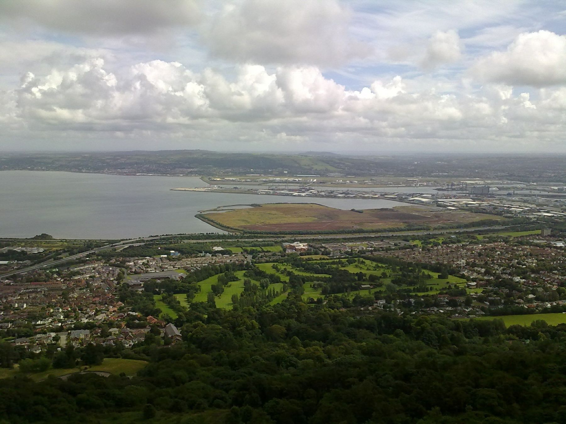
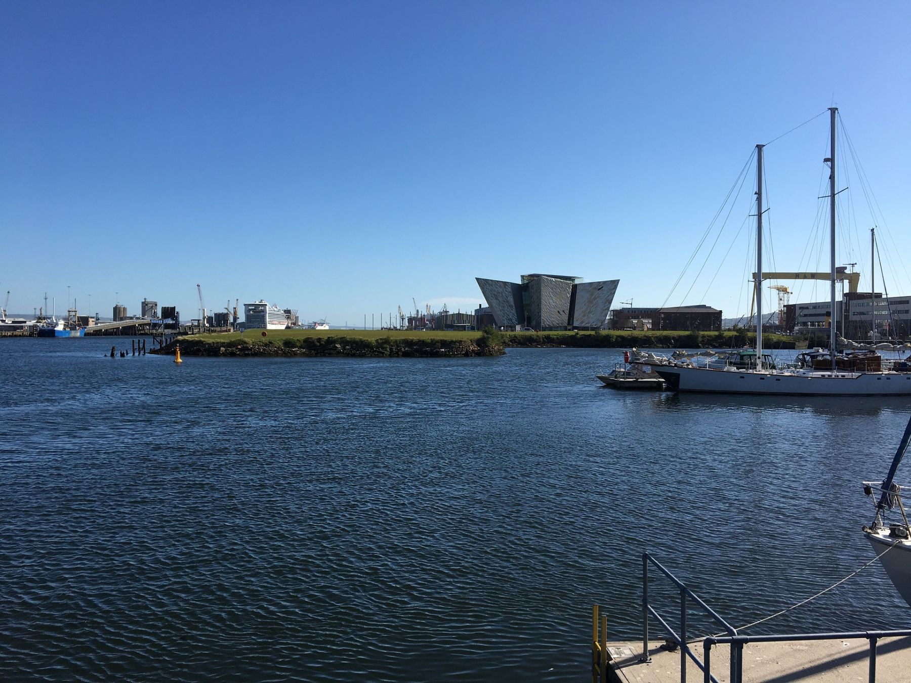
Today saw the completion of photogrammetric control for our flood alleviation project for Belfast. Both, sea and river dependant flooding is going to be addressed and the survey spans the river and Titanic Quarter areas. Aerial photography is being used to map the height model accurately. Consequently we can assess any work which will be needed to protect Belfast for the future. It is only possible from the air to survey a comprehensive height model good enough for the flood plain mapping in such a built-up area. Our highly accurate control will make sure that tolerances are met.